Step 1. Google Earth
Section outline
-
-
- General description of the studied area and the method
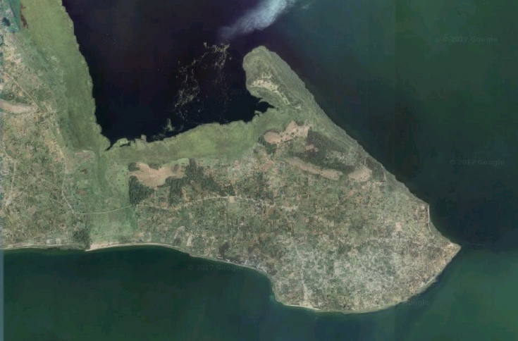
- First observations on satellite data
217.1 MB -
- Detailed observation of each part of the peninsula
- Establish a transect
117.5 MB -
Explore the N'Kosy area with the picture tour.
Advice: this visit uses the software Prezi®. If you are not familiar with this software, we recommend that, to begin with, you only use the arrows <= and => on your keyboard to browse through this presentation.
-
- Find our way in the field
- Observe cultivated land
- Observe land occupation
- Observe the soils
- What kind of tools do we need to observe the landscape
- Second high point: the peninsula
- Groups split up to cover the study area
257.9 MB

